
Blog
Surveying and drawing pictures and text
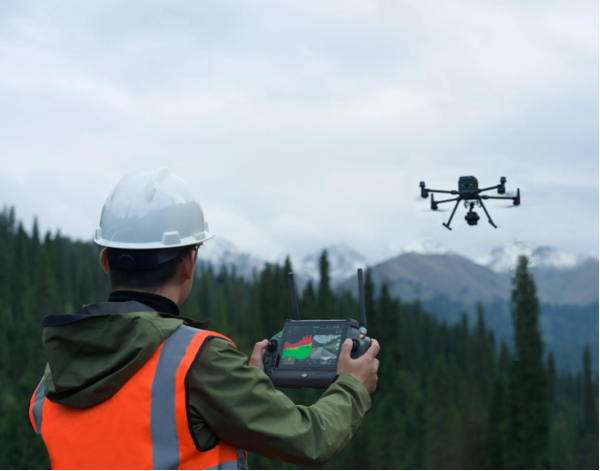
With the continuous advancement of technology and the rapid development of drone technology, the mapping industry is undergoing a revolutionary transformation. As an efficient and flexible aerial platform, drones have been widely applied in map drawing and mapping fields, bringing great convenience and efficiency improvement to mapping work. This article will explore the application of drone technology in map drawing and the profound impact of this application on the mapping industry.
Advantages of Unmanned Aerial Vehicle Technology in Map Mapping
Efficient and rapid: Traditional map mapping requires a large amount of manpower and resources, taking a lot of time and effort. However, unmanned aerial vehicles equipped with advanced camera equipment can complete large-scale map mapping quickly and efficiently, saving a lot of time and costs.
High precision and high clarity: Unmanned aerial vehicles are equipped with high-resolution cameras and laser radars, which can achieve high-precision mapping of surface details and generate clear and accurate map data, providing important support for urban planning, land management, etc.
Flexibility and coverage: Unmanned aerial vehicles can adjust flight altitude and routes flexibly, covering a wide area and being flexible and variable. They can fly over mountains, rivers, urban buildings and other terrains to achieve comprehensive mapping of complex areas.
Application Cases of Unmanned Aerial Vehicle Technology in Map Mapping
Urban planning and land management: Unmanned aerial vehicle technology plays an important role in urban planning and land management. Through unmanned aerial photography, information such as urban topography, road traffic, and building distribution can be obtained, providing accurate data support for urban planning and land management departments.
Disaster monitoring and emergency response: Unmanned aerial vehicles have unique advantages in disaster monitoring and emergency response. After a disaster occurs, unmanned aerial vehicles can quickly fly to the disaster area and obtain real-time disaster conditions, providing important references for rescue and recovery work.
Topographic mapping and resource investigation: Unmanned aerial vehicles can conduct high-precision topographic mapping, providing data support for resource exploration, environmental protection, etc. Through unmanned aerial vehicle technology, important information such as mineral resources and forest coverage can be quickly obtained.
Future Prospects and Challenges
With the continuous innovation and improvement of unmanned aerial vehicle technology, in the field of map mapping in the future, unmanned aerial vehicles will play a more important role:
Intelligentization and automation: Future unmanned aerial vehicles will be more intelligent, capable of autonomous flight, intelligent remote sensing, and data processing, improving the efficiency and accuracy of map mapping.
Multi-sensor fusion application: Future unmanned aerial vehicles will combine multiple sensor technologies, such as infrared and hyperspectral, to achieve multi-dimensional monitoring of surface information, providing more comprehensive data support for map mapping.
Data cloud management and big data analysis: The map data collected by unmanned aerial vehicles will be managed and analyzed through cloud platforms, combined with big data technology, providing more accurate decision support for urban planning, resource management, etc.